Better late than never.
While the start of the 2020-21 winter has been drier than what we've come to expect around here, winter finally made its way to Alta this past week. Over the past seven days, Alta has received almost three feet of new snow and there's more on the way!

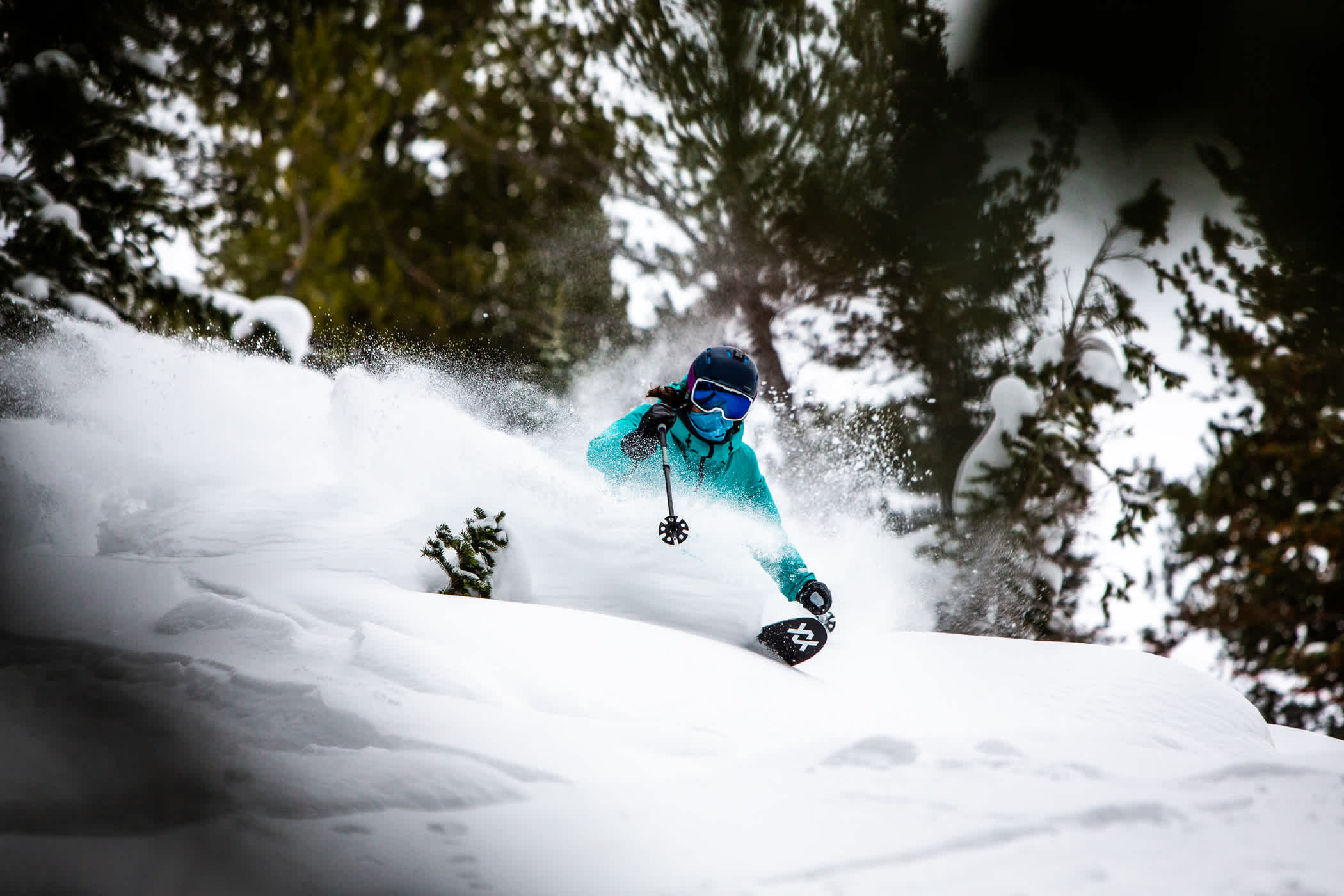
Johnny from the Watson Shelter dives into winter | Photo: Photo-John
How It Started
The second half of January saw a promising forecast slowly wane as yet another approaching storm seemed to disintegrate at the Utah border. While Little Cottonwood Canyon does its best to squeeze every flake out of a passing system, the result was all too common for the 2020-21 winter—a few inches of low-density snow. It was enough to soften up some turns but did little to help build our base. As we enjoyed a couple of light refreshes, all eyes were on an approaching system that had even the most weathered meteorologists running in circles trying to make sense of the models. As Open Snow forecaster and die-hard Alta powderhound, Evan Thayer, said on the eve of the storm:
"I've been doing this for more than 10 years now and I'll remember this storm as one of the most headache-inducing ones I've ever had to forecast."
- Evan Thayer, Wasatch Snow Forecast
A storm with a southwest flow reached Alta on Friday, January 22nd. Higher-density snow fell, followed by lighter flakes as temperatures dropped, and the Alta snow globe seemed to have been placed on one of those paint mixers at your local hardware store. For the first time this season, the snow gods were equally generous to all of the Wasatch, delivering deep powder days to every ski area in northern Utah.
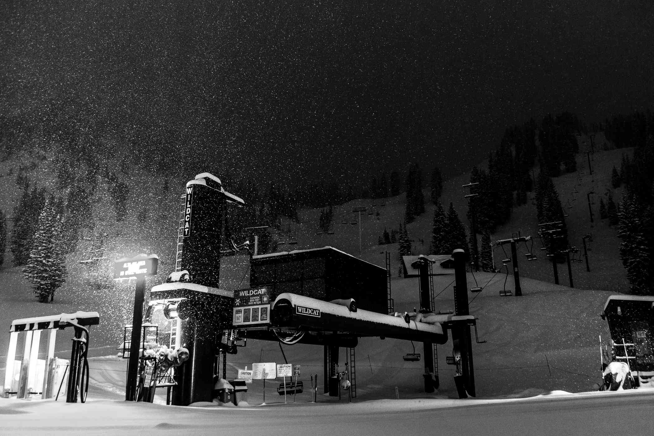
 Snow falls on the Wildcat lift on Friday night, January 22nd | Photo: Rocko Menzyk
Between Friday, January 22nd, and Sunday, January 24th, Alta received 20” of much-needed snow. While far from a record-breaking storm, this was the second-biggest storm total and the second-biggest water event at Alta this season, the other coming in November before the lifts were spinning.
Season-to-date snowfall totals for Alta Ski Area | Alta.com
Once the skies cleared, Alta Ski Area was back to looking and skiing like the Alta that we know and love. The Alta Ski Patrol worked to open the Backside, Ballroom and Baldy Shoulder on Sunday morning, resulting in some bluebird powder skiing and one of the best days of the season.

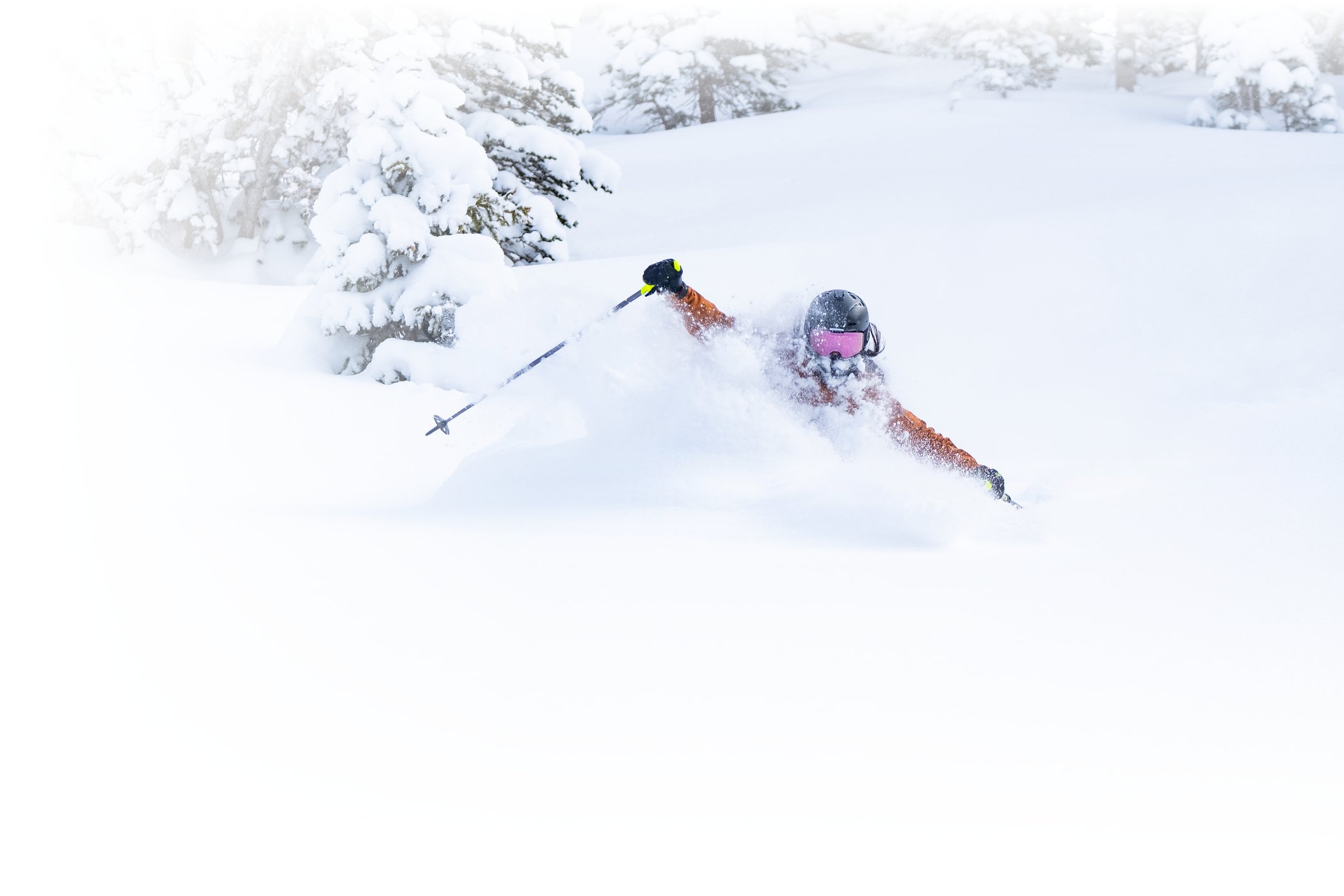
An unknown skier drops into a deep powder run on the Backside | Photo: Photo-John
This week got off to a great start as more terrain has opened and cold temperatures and overnight dustings of snow kept the powder-starved locals happy. A warmer, windier storm delivered another 8" of new snow by Thursday morning, resulting in some surfy midweek powder turns for everyone. The skiing has been great and it's about to get better, as another round of snow is barreling towards Alta, just in time for the weekend.

Megan McJames enjoys some surfy powder on Thursday, January 28th | Photo: Rocko Menzyk
How It's Going
Another weekend storm delivered an additional 21" of snow to the slopes of Alta by the morning of Saturday, January 30th. This new powder, on top of the denser midweek snow, created some of the best powder skiing of the season. It was the kind of midwinter powder storm that Alta skiers have been enjoying since 1938.
 Alta's General Manager, Mike Maughan, samples the product after a 21" weekend storm | Photo: Photo-John
The skies cleared and another round of terrain openings meant another bluebird powder Sunday for a second consecutive week. The Backside, Ballroom and Shoulder skied great—the perfect way to send out the first month of 2021.
 Jennie Symons scores first tracks after the Backside rope drop | Photo: Photo-John
The latest round of storms put down 33" of snow at Alta Ski Area, pushing Alta's season-to-date snowfall beyond the 200" mark. Base depth at the Collins snow stake is now 69". While we knew this season would be a little different, the return of winter was a welcome sight at Alta and a great reminder of why we call this place home.
The past two weekends have seen two of the biggest storms of the 2020-21 winter | Alta.com
Looking Forward to February 2021
While we are still well behind our average season-to-date snowfall, we still have three of Alta’s top-five snowiest months yet to come. Between February and April, Alta averages 270” of snow. Historically, March is Alta's snowiest month. And we're long overdue for a long-duration snow event.
Last week's storm collided with the weekend and the next storm looks appears to be following suit, arriving Friday eve into Saturday. While we all love weekends the honest truth is that our parking fills up quickly on weekend powder days. Why you may ask? Remember, we are skiing in the middle of a pandemic and have reduced parking capacity in an effort to limit the number of skiers on the mountain. Many have also asked why lift lines appear longer than ever if skier capacity has been reduced this winter? The simple answer is efficiency. Our Quad chairs are often loaded with just two and three skiers rather than four. This aspect, coupled with 6' spacing between skiers standing in lines and the addition of ghost mazes (to preserve shoulder-to-should space) has created lift lines at Alta that our skiers are not accustomed to.
Please consider these tips when skiing on weekends:
- Access to our mountain is first-come, first-served. Parking and skiing reservations are not accepted.
- Know Before You Go. Check @AltaAlerts on Twitter or Alta.com for parking status updates. Check these updates before you leave your house, condo or hotel.
- Arrive early. Pro tip: 9am is not considered early.
- Consider skiing after 1:30pm.
- The UTA Ski Bus delivers Alta skiers directly to our doorstep but reduced ridership capacities mean greater planning and/or patience.
- Lastly, thanks for your patience and understanding. Remember that all ski areas are facing capacity challenges, especially during the COVID era.
So, keep those pray-for-snow rituals coming, wear your mask and we’ll see you on the slopes.


Add Your Comment